FACTS ABOUT RWANDA
Location of Rwanda
Rwanda is a land locked country in east- central Africa
covering an area of 26,338 sq. km (10,170 sq mi). Rwanda borders Uganda in the
north, Tanzania in the east, Burundi in the south and Democratic Republic of
the Congo (the former Zaire) in the west & North West.
Rwanda’s
Climate
Rwanda enjoys a pleasant tropical highland climate due to its
high altitude with overlapping hills. Temperatures vary considerably because of
the variations in altitude from region to region. In Kigali, on the central
plateau, the average temperature is 21°c (70°f). A long rainy season lasts from
February to May and a short one from November through December.
Rwanda
tourism – wildlife, gorillas, and scenery
Many tourists choose to visit Rwanda yearly because of its
great scenery of rain forests and several undulating hills, the beautiful
culture and people, and the different wildlife especially the endangered
Mountain gorillas. A lot of other people choose the hiking opportunities of the
Virunga volcanoes especially Mt Bisoke and Mt Karisimbi. These visits are
usually organised as Rwanda safaris which include gorilla trekking safaris,
wildlife tours, chimpanzee trekking safaris, hiking opportunities and cultural
tours especially in the eastern and northern parts of the country. The main
activity of them all being the famous gorilla trekking in Volcanoes national
park.
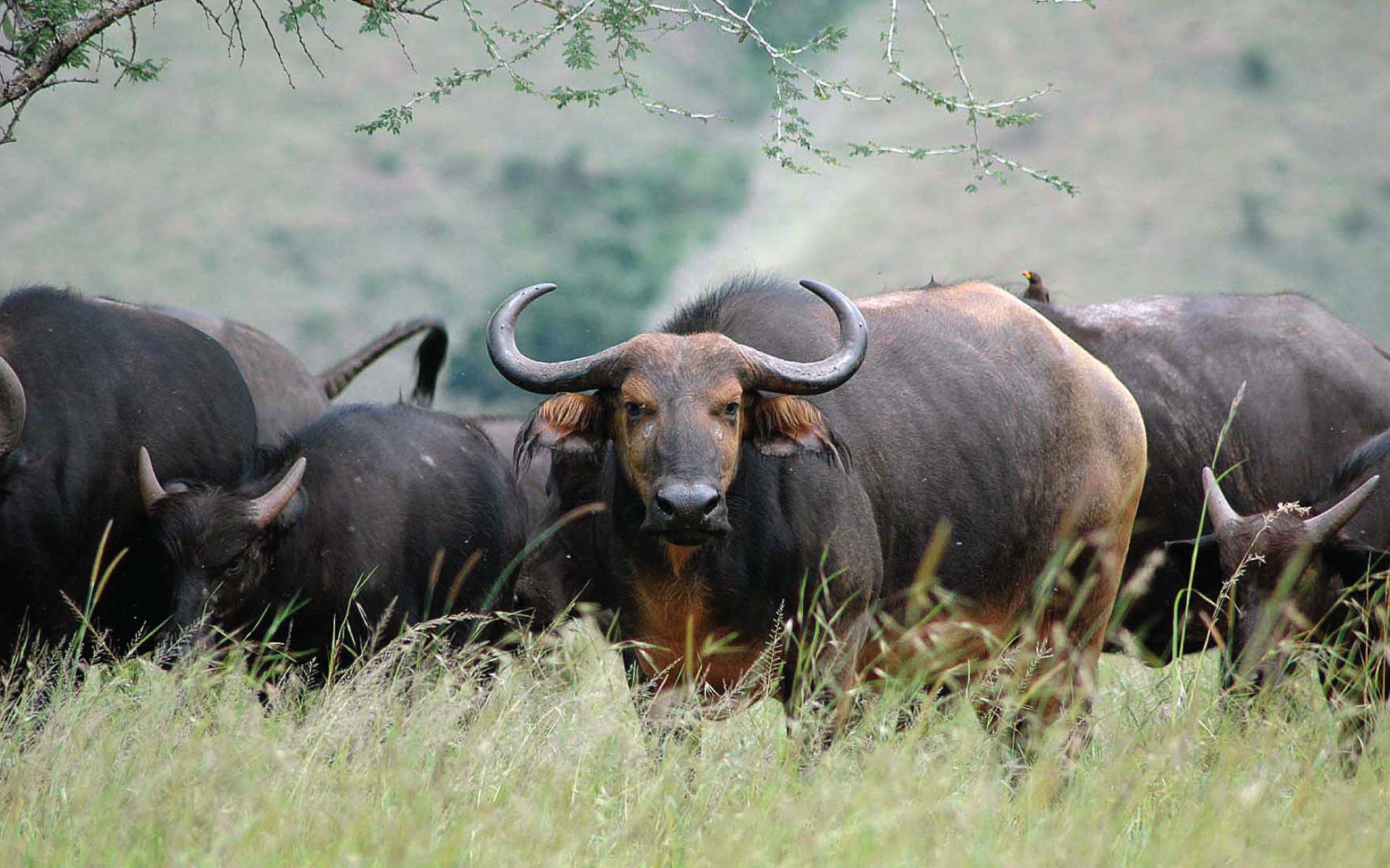
Rwanda protectes its wildlife in four national parks which
are:
Akagera national park
Volcanoes national park
Nyungwe Forest National Park
Gishwati-Mukura National Park
These parks are home to elephants, Giraffes, bush bucks,
hippopotamuses, buffalo, lions, zebras, leopards, monkeys, mountain gorillas,
golden monkeys and chimpanzees, several species of monkeys, jackals, hyena,
antelope, crocodiles etc. There is a variety of birds in the national parks and
agricultural lands with Nyungwe forest and volcanoes national park being home
to Albertine Rift endemics.
rwanda-hillsRwanda lies on the great East African plateau,
between the water systems of the Nile and Congo rivers. To the west of the
divide, the land drops sharply to Lake Kivu in the Great Rift Valley; to the
east, the land falls gradually across the central plateaus—to the swamps and
lakes on the country’s eastern border. Almost all of Rwanda is at least 1,000 m
(3,300 ft) above sea level; the central plateau is between 1,500 and 2,000 m
(4,950–6,600 ft) high. In the northwest on the border with the DR Congo are the
volcanic Virunga Mountains; the highest peak, Mt. Karisimbi is at 4,519
m/14,826 ft. Lake Kivu at 1,460 m (4,790 ft) above sea level, drains into Lake
Tanganyika through the sharply descending Ruzizi River in the east of Rwanda.
The Kagera River, which forms much of Rwanda’s eastern border, flows into Lake
Victoria – the largest fresh water lake in African shared between Tanzania,
Uganda, and Kenya.
Rwanda
Tourism – People, Culture & Language
intore-dancers-rwandaThe official languages of Rwanda are
Kinyarwanda, French, and English. However, the main language spoken widely in
Rwanda is Kinyarwanda, a member of the Bantu language family – regardless of
the part of country you are in the Rwandans will communicate in Kinyarwanda.
The population of Rwanda was comprised mainly of three main people groups;
agriculturalist, pastoral people and hunter gatherers who lived in the forests
also known as the Batwa. Currently most of Rwandans live in the rural areas and
are engaged in some kind of agricultural activities.
Safety
& Security
Rwanda is remarkably a safe country to choose as a travel
destination. You are however encouraged to be cautious just like in any other
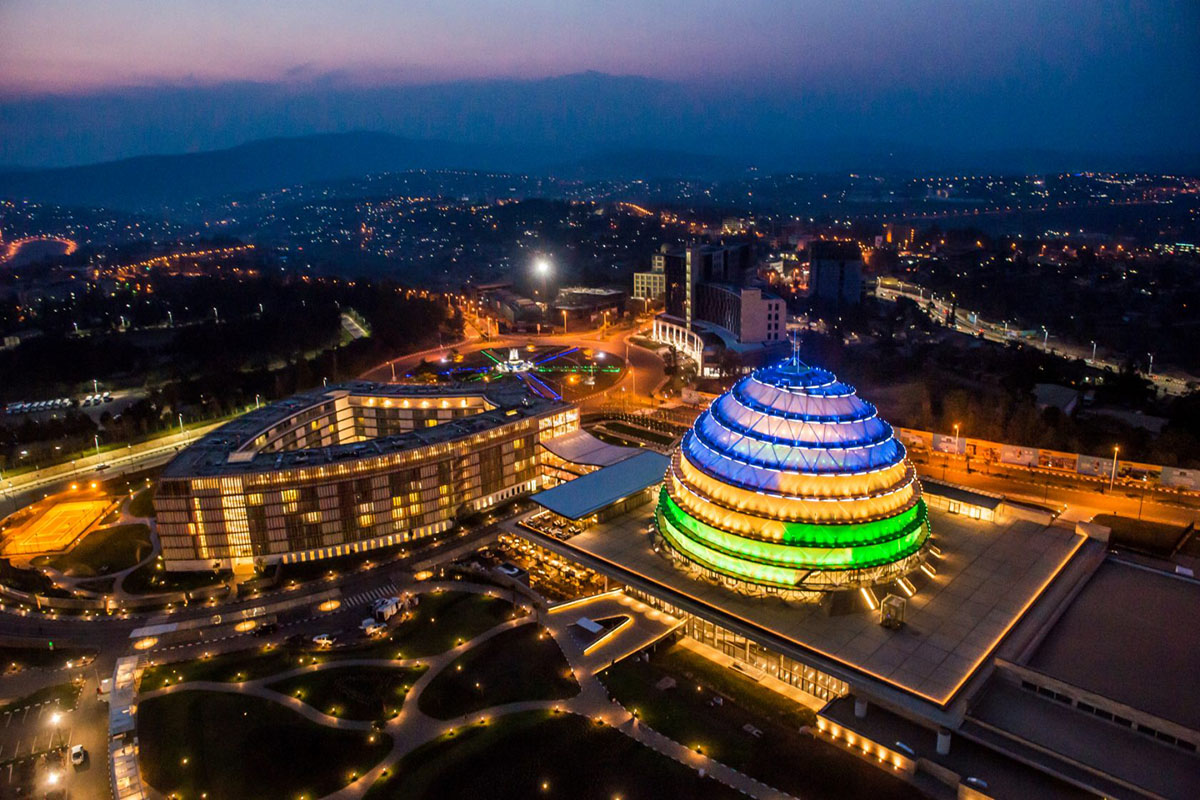
destination. Kigali is the capital city of Rwanda served by Kigali
International Airport (sometimes called – Kanombe international airport) where
most tourists arrive. Kigali is also known as the cleanest city Africa with
little or no traffic jams like most other African cities.
Distance
from Kigali to major Cities and tourist attractions
rwanda-roadsDistance from Kigali to Nyungwe forest National
Park is around 225 Km and takes around 5 hours. This is because of the winding
road where you will drive mostly 50 km/h. The road also has lots of trucks
continuing to DR Congo and Burundi.
Distance from Kigali to Volcanoes national park is 80 Km and
takes about 2 hours. The reason is that the road is winding with so many
corners. You will most likely drive at 40 km/h most of the way. The heavy
trucks carrying merchandise also contribute to the slow movement.
Distance from Kigali to Akagera National Park is about 120 Km
and takes about 2 hours 30 minutes. Akagera national park is located in Eastern
Rwanda on the border with Tanzania. The terrain is generally more flat compared
to other parts of the country.
Distance from Kigali to Butare (Huye) is 142 Km and takes
about 3 hours. Butare (Huye) is on the way to Nyungwe forest. It is a major
stopover because it houses the Ethnographic museum and the national University
of Rwanda.
Distance from Butare to Cyangugu is 155 (southern Lake Kivu
shore) takes about 3 hours. Cyangugu located on the southern shore of Lake Kivu
sometimes provides accommodations for people exploring Nyungwe forest for
chimpanzee trekking, canopy walk and Colobus trekking.
Distance from Ruhengeri (Musanze) to Gisenyi (northern Lake
Kivu shore) is 62 Km and takes about 1 hour. This is a more straight with few corners. It generally does
not have too much traffic.
Distance from Kigali to Kibuye (mid Lake Kivu shore) is 130 Km
and takes about 3 hours. Kibuye is an excellent weekend gateway from Kigali.
The drive is mainly pleasant with manageable traffic and hills.
Why you shoul travel to Rwanda
WE TRAVEL RWANDA Ltd will
arrange your African vacation to Rwanda according to your interests; primate
trekking in Rwanda, Bird watching, Culture and community experiences, wildlife
safaris, Adventure , excursions & Photography, Mountain Hiking or Forest
Hikes.